
Connect the Plots
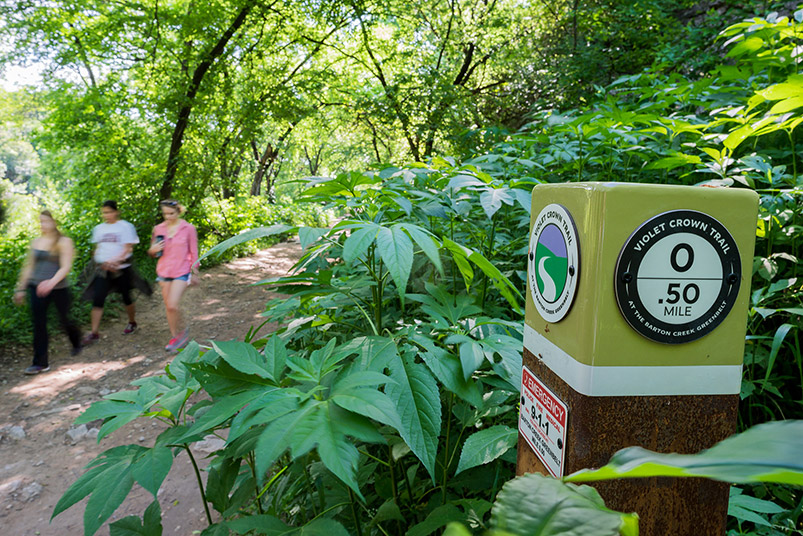
While some parts of the VCT will require blazing new trails, the currently open Zilker Park–to–290 trailhead section utilizes existing portions of the Barton Creek Greenbelt trail. Here, users walk the path near downtown Austin. PHOTO Erik Pronske
THE VIOLET CROWN TRAIL IS THE TYPE OF THING that sounds like a grand idea after you’ve had a few beers with friends. “We should totally plan a 30-mile trail that extends from Zilker Park to Hays County, you know, so you can walk for an entire day!”
“Totally,” your friends would respond. “That would be awesome.”
It would be awesome. It’s an amazing idea. but the reality of such a project — the fact that it involves traversing Water Quality Protection Lands and requires collaboration between the Neighborhood Connectivity Program; Texas Parks & Wildlife Department; the City of Sunset Valley; the City of Austin’s Parks and Recreation, Public Works, and Transportation Departments; Hays and Travis Counties; and the Texas Conservation Corps (among others) — means it’s also the kind of idea that most people, even very ambitious ones, would quickly abandon once they realized the level of effort involved in seeing it through.
That’s where the Hill Country Conservancy comes in. What began as a vision in 1999 has now progressed into a partial reality thanks to the organization’s coordinating and easement-buying efforts. The first six miles of the Violet Crown Trail (VCT), which stretch from Zilker Park to a trailhead at U.S. Route 290 just north of Brodie Lane, opened in August 2015. The next segment will take users south through Sunset Valley past the Veloway (a popular cycling track) to the Lady Bird Johnson Wildflower Center. The section from the Wildflower Center south is still being planned, but it is currently set to pass through the southeast corner of Center land and extend 17 more miles into rural Hays County.
Carolyn long, a Center volunteer and supporter of both the Wildflower Center and Hill Country Conservancy, says, “It will be fun to have the opportunity to walk to a destination as special as the Wildflower Center. People can take what they learn in our native plant botanical garden and use it to understand the plants and ecology along the Violet Crown Trail.”
While connecting all the plots the 30-mile hike-and-bike trail will cover takes diplomacy and determination, there is more to the master plan than shaking hands and signing documents. Charting the route itself took some finessing through those Water Quality Protection Lands.
Back in 2009, when the project was called “Walk for a Day,” the City of Austin asked the Wildflower Center to help plot a path that would put water quality first, then human access. Michelle Bertelsen, a Wildflower Center ecologist, began by assessing trail impact. She worked with hydrogeologists, archeologists and other conservation professionals to buffer archeological sites, wildlife habitat, karst landscape features, creeks and lands that are managed by prescribed burning. Bertelsen says this is why there are “weird snaky parts” — to route foot traffic around sensitive areas.
According to Madeline Enos, a Hill Country Conservancy volunteer, that foot traffic comes in all shapes: “I have seen an amazing variety of people on the trail,” she says, “from climbers scaling rock walls to hardcore trail runners, to elder folks walking with their grandkids.” One of her favorite things about the VCT is that “it feels ‘wild’ but is also very accessible.”
That’s exactly the goal Bertelsen had in mind: to make these places “accessible without messing them up,” she says. “That’s what we do.”